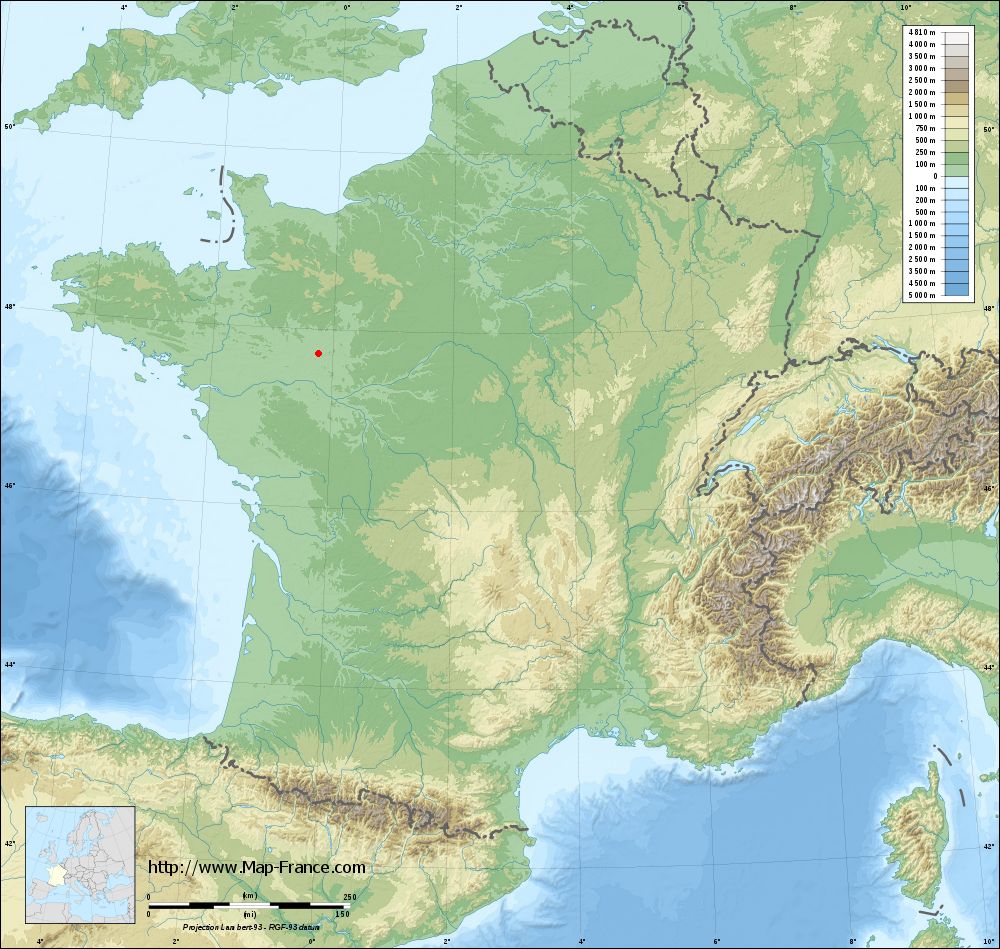
La Chapelle-d'Aligné on the relief France map in Lambert 93 coordinates
|

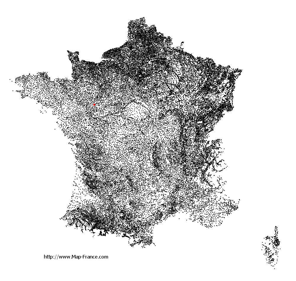
See the map of La Chapelle-d'Aligné in full screen (1000 x 949)
|
At left, here is the location of La Chapelle-d'Aligné on the relief France map in Lambert 93 coordinates.
Here are the altitudes of La Chapelle-d'Aligné :
- Town hall altitude of La Chapelle-d'Aligné is 50 meters
- Minimum altitude of La Chapelle-d'Aligné is 28 meters
- Maximum altitude of La Chapelle-d'Aligné is 67 meters
- Medium altitude of La Chapelle-d'Aligné is 48 meters
Here are the altitudes of Le Mans, prefecture of Sarthe department:
- Town hall altitude of Le Mans is 50 meters
- Minimum altitude of Le Mans is 38 meters
- Maximum altitude of Le Mans is 134 meters
- Medium altitude of Le Mans is 86 meters
Here are the altitudes of the french biggest cities:
Paris : 33 meters
Marseille : 20 meters
Lyon : 237 meters
Toulouse : 146 meters
Nice : 10 meters
Nantes : 20 meters
Strasbourg : 144 meters
Montpellier : 35 meters
Bordeaux : 16 meters
Lille : 20 meters
Rennes : 35 meters
Reims : 83 meters
Click here for the terrain map of La Chapelle-d'Aligné in full screen:
Relief map of La Chapelle-d%27Aligné
|
This relief map of La Chapelle-d'Aligné is reusable and modifiable by making a link to this page of the Map-France.com website or by using the given code :
|
Terrain base map of La Chapelle-d'Aligné
|
See the terrain base map of La Chapelle-d'Aligné in full screen (1000 x 949)
|
Small relief base map of La Chapelle-d'Aligné
|
This base map of La Chapelle-d'Aligné is reusable and modifiable by making a link to this page of the Map-France.com website or by using the given code :
|
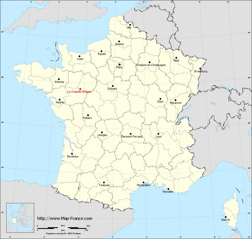
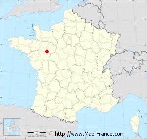
Map of La Chapelle-d'Aligné with regions and prefectures
|
View the map of La Chapelle-d'Aligné in full screen (1000 x 949)
|
You will find the location of La Chapelle-d'Aligné on the map of France of regions in Lambert 93 coordinates. The town of La Chapelle-d'Aligné is located in the department of Sarthe of the french region Pays de la Loire.
Geographical sexagesimal coordinates / GPS (WGS84):
Latitude: 47° 43' 58'' North
Longitude: 00° 14' 11'' West
Geographical decimal coordinates :
Latitude: 47.732 degrees (47.732° North)
Longitude: -0.234 degrees (0.234° West)
Lambert 93 coordinates :
X: 4 575 hectometers
Y: 67 419 hectometers
Lambert 2 coordinates :
X: 4 070 hectometers
Y: 23 069 hectometers
Below, the geographical coordinates of Le Mans, prefecture of the Sarthe department:
Geographical sexagesimal coordinates / GPS (WGS84):
Latitude: 48° 00' 15'' North
Longitude: 00° 11' 49'' East
Geographical decimal coordinates :
Latitude: 47.996 degrees (47.996° North)
Longitude: 0.203 degrees (0.203° East)
Lambert 93 coordinates :
X: 4 910 hectometers
Y: 67 708 hectometers
Lambert 2 coordinates :
X: 4 403 hectometers
Y: 23 360 hectometers
|
This map of La Chapelle-d'Aligné is reusable and modifiable by making a link to this page of the Map-France.com website or by using the given code :
|
Map of La Chapelle-d'Aligné with departments and prefectures
|
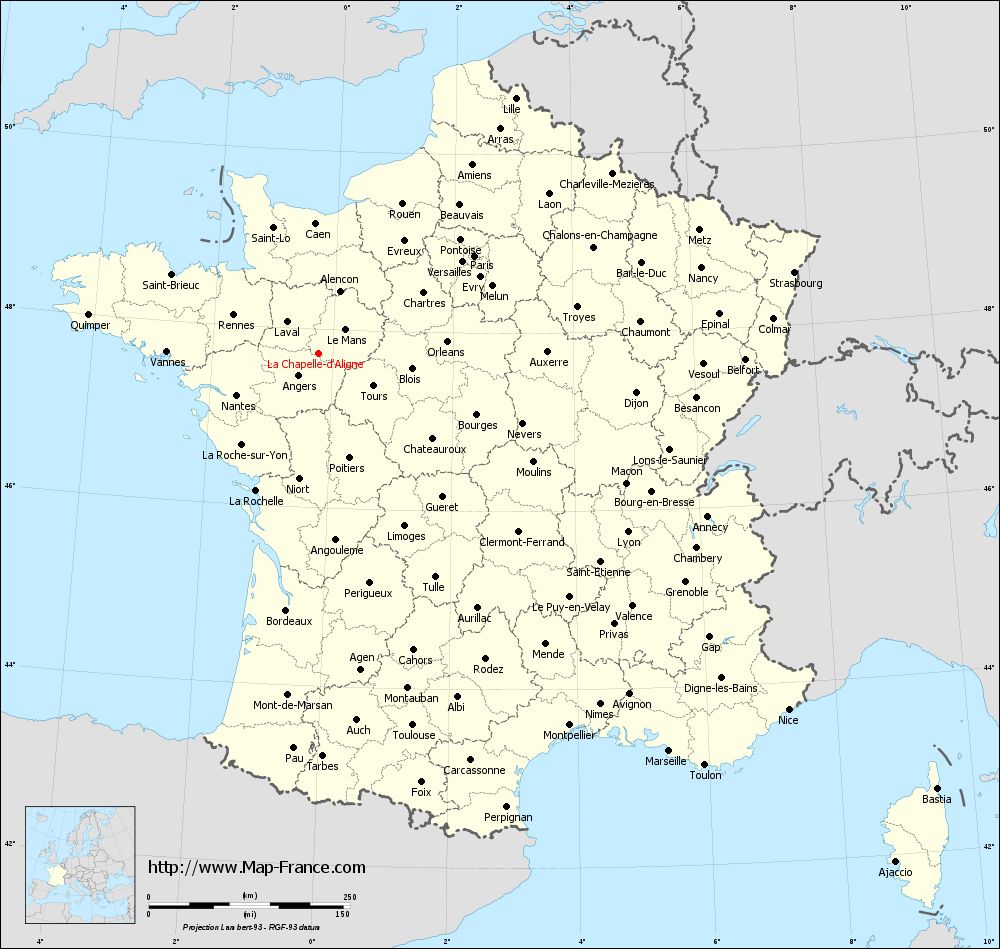
Voir la carte of La Chapelle-d'Aligné en grand format (1000 x 949)
|
Here is the localization of La Chapelle-d'Aligné on the France map of departments in Lambert 93 coordinates. The city of La Chapelle-d'Aligné is shown on the map by a red point.
The town of La Chapelle-d'Aligné is located in the department of Sarthe of the french region Pays de la Loire.
The latitude of La Chapelle-d'Aligné is 47.732 degrees North.
The longitude of La Chapelle-d'Aligné is 0.234 degrees West.
Here the distance between La Chapelle-d'Aligné and the biggest cities of France:
Distances are calculated as the crow flies (orthodromic distance)
Distance between La Chapelle-d'Aligné and Paris : 228.16 kilometers
Distance between La Chapelle-d'Aligné and Marseille : 659.3 kilometers
Distance between La Chapelle-d'Aligné and Lyon : 443.65 kilometers
Distance between La Chapelle-d'Aligné and Toulouse : 477.37 kilometers
Distance between La Chapelle-d'Aligné and Nice : 733.08 kilometers
Distance between La Chapelle-d'Aligné and Nantes : 114.38 kilometers
Distance between La Chapelle-d'Aligné and Strasbourg : 599.38 kilometers
Distance between La Chapelle-d'Aligné and Montpellier : 558.05 kilometers
Distance between La Chapelle-d'Aligné and Bordeaux : 322.1 kilometers
Distance between La Chapelle-d'Aligné and Lille : 400.15 kilometers
Distance between La Chapelle-d'Aligné and Rennes : 115.5 kilometers
Distance between La Chapelle-d'Aligné and Reims : 356.77 kilometers
Clic here to see the map of La Chapelle-d'Aligné in full screen:
La Chapelle-d%27Aligné on the map of french departments
|
This administrative map of La Chapelle-d'Aligné is reusable and modifiable by making a link to this page of the Map-France.com website or by using the given code :
|
Administrative base maps of La Chapelle-d'Aligné
|

See the administrative base map of La Chapelle-d'Aligné in full screen (1000 x 949)
|
Small administrative base map of La Chapelle-d'Aligné
|
This base map administrative of La Chapelle-d'Aligné is reusable and modifiable by making a link to this page of the Map-France.com website or by using the given code :
|
 French Version : http://www.cartesfrance.fr